IoT – GIS Integration Services
We integrate real-time IoT sensor data with GIS platforms to create live, location-based monitoring systems. Gain critical insights from your connected assets.
Connect Your Assets with IoT-GIS Integration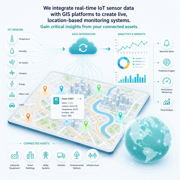
We integrate real-time IoT sensor data with GIS platforms to create live, location-based monitoring systems. Gain critical insights from your connected assets.
Connect Your Assets with IoT-GIS Integration
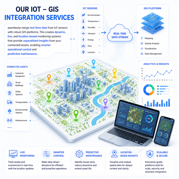
Our IoT – GIS Integration Services seamlessly merge real-time data from IoT sensors with robust GIS platforms. This creates dynamic, live, and location-based monitoring systems that provide unparalleled insights from your connected assets, enabling smarter operational control and predictive maintenance.
Why this service stands out
Gain a complete, real-time view of your assets and operations on a unified map.
Efficiently deploy resources based on live location-based data and insights.
Anticipate equipment failures and schedule maintenance before breakdowns occur.
Make informed choices faster with integrated, real-time IoT and GIS data.
Automate data collection and analysis, streamlining workflows for better productivity.
Leverage integrated data to develop innovative, location-based products and services.
What makes this service stand out
Monitoring the exact location and status of mobile or stationary assets instantly on a GIS map using IoT sensors.
Connecting environmental IoT sensors (e.g., air quality, water levels) to GIS for live, location-aware data visualization.
Utilizing IoT data integrated with GIS to anticipate equipment failures and trigger location-specific maintenance alerts.
Developing GIS-powered dashboards for smart city initiatives, integrating data from traffic, waste, and utility sensors.
Enhancing logistics and supply chain management by visualizing real-time location and condition of goods in transit.
Monitoring the performance and integrity of distributed infrastructure assets (e.g., pipelines, power grids) via GIS.
How we deliver results
Evaluating your IoT sensor infrastructure, data streams, and GIS platform requirements.
Designing the architecture for seamless data flow between IoT devices and your GIS system.
Implementing the integration, developing custom monitoring dashboards, and deploying the solution.
Providing continuous monitoring of the integrated system and optimizing performance for maximum insights.